
Navigating through our API catalog can be overwhelming at times.
Jupyter Notebook, LightBox Geocoding
LightBox Geocoding
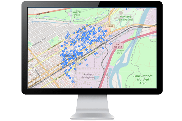
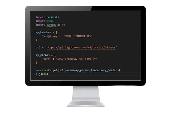
This sample displays a jupyter notebook that walks through the process of geocoding with the LightBox geocoding API
This sample demonstrates:
- A functioning jupyter notebook that can be downloaded
- Using python to make a geocode request to the LightBox API